Lewis River Trail Washington
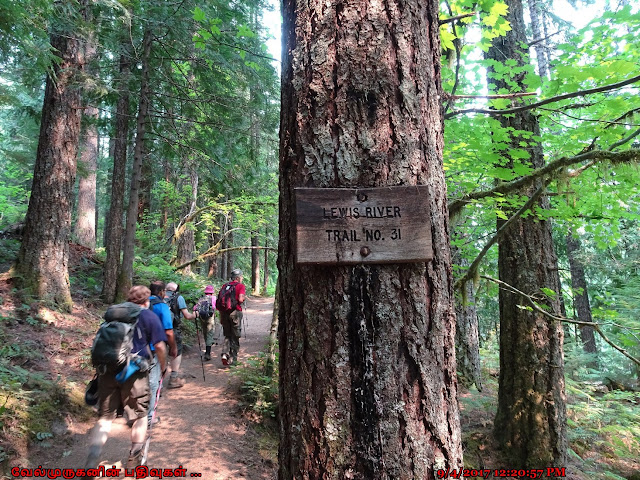
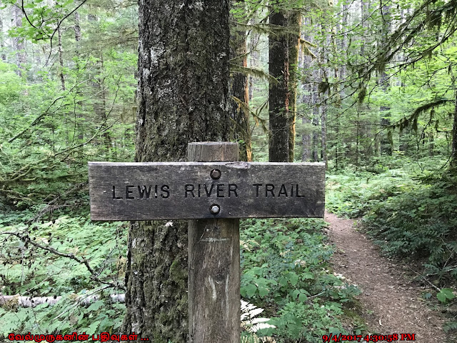
Lewis River Trail - Gifford Pinchot National Forest
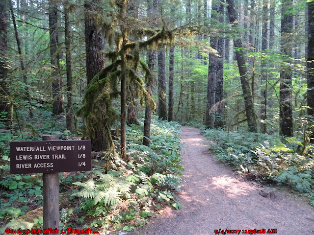
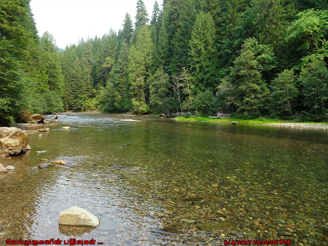
The Lewis River trail follows a gentle uphill grade through a magnificent Douglas fir, western red cedar and big leaf maple old-growth forest. This trail has multiple sections and also we can view the beautiful waterfalls along the river trail.
Trail sections and spurs:
#31 Lewis River Trail: Curly
Creek to Lower Falls
#31 Lewis River Trail: Lower
Falls to Quartz Creek
#31A Curly Creek and Miller Creek
Falls Trail
#31C Middle Falls Trail
#31E Speed Trail
The Lower Lewis River Falls are spectacular. At 43 feet high and 200 feet across. On the left side is a churning trough which gathers most of the water flow, and there are several viewpoints to capture the scene from.
Start point: Lower Lewis River
Falls Trailhead
End point: Taitnapum Falls
Distance: 6.6 miles
Elevation gain: 500 feet
Passes: A valid Recreation Pass /
Northwest Forest Pass is required
Middle Lewis Falls is 33 foot cataract is the widest of the
multitude of waterfalls along the Lewis River. The falls spread out over a
broad bedrock sheet then crash sideways into a trough, half of the falls
plunging straight down in a horseshoe and half sliding down the bedrock. From
one end to the other the falls are almost 300 feet wide.


Post a Comment