Dog Mountain Hike Washington
Dog Mountain Hike - Columbia River Gorge Washington
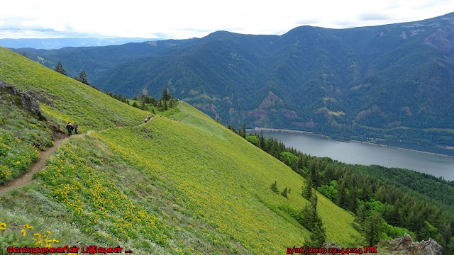
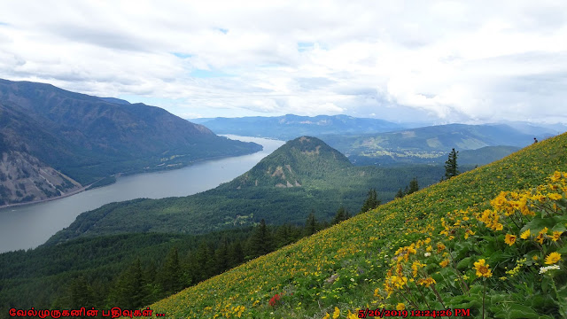
The Dog Mountain trail is best known for the dramatic yellow balsamroot and other native wildflowers that blanket Dog Mountain's high meadow from April to June, but its spectacular panoramas of the Gorge reward hikers throughout summer and fall.
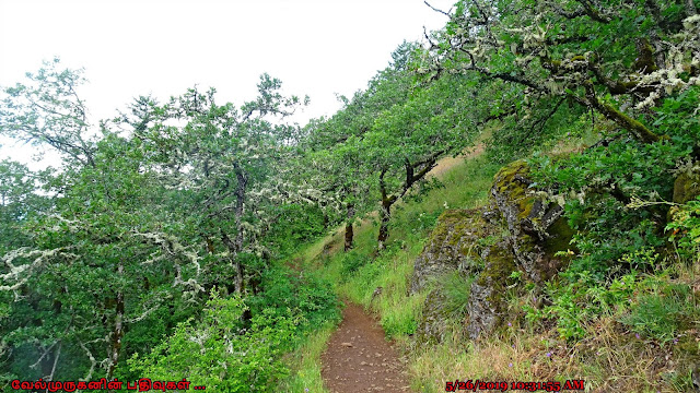
The trail climbs steeply for the first half mile before reaching a split in Dog Mountain Trail. Those who head west will pass through old growth trees along the original, steeper trail. About a mile into the east leg, hikers will encounter a lower meadow nicknamed "Puppy Dog" which overlooks the Columbia River as it meanders past Wind Mountain. Directly across the river, Starvation Creek Falls is visible to the left, as is the summit of Mount Defiance. This is a good picnic spot or turnaround point for a shorter hike.
Those who continue to the upper meadow will find the rest of the hike very open. On a clear day, the Columbia River can be seen winding through the Gorge in both directions, with Mt. Hood towering to the south and Mount St. Helens looming on the northwest horizon. On rainy days, hikers can sometimes find themselves above the clouds.
During the winter, the peak is snow-covered and even the most intrepid hikers should come prepared with mountaineering gear such as traction devices, poles, and a good GPS.Hikers can continue past the upper meadow to create a loop via Dog-Augspurger Tie Trail to Augspurger Trail #4407 which shares the same trailhead.
Length : 6.9 mi
Elevation gain : 2,900 ft
Difficulty: Moderate
Route type : Loop Hike
Passes: NW Forest Pass or valid
federal recreation pass
Fees:$5/vehicle/day at Dog
Mountain Trailhead
Directions From Portland, OR: Travel west on Interstate 84 to Cascade Locks exit #44. Follow the off ramp under the interstate and take the first right to the Bridge of the Gods across the Columbia River. At the stop sign, turn right (east) on Washington State Route 14 and travel 12 miles. At milepost 53.7 there is a large sign for the Dog Mountain Trailhead.


Post a Comment