The Coyote Wall Hike Washington
The Coyote Wall hike on Columbia River Gorge
The Washington side of the Columbia River Gorge has some great hikes like Hamilton Mountain, Table Mountain, Dog Mountain, Catherine Creek and Coyote Wall. The Coyote Wall area provides a network of different trails for a very easy paved family stroll, to a more rigorous hike or mountain bike ride. The trail starts off along Old Ranch Road which is paved and goes between Locke Lake and Coyote Wall. Rocks have tumbled down into the pathway from the rock walls above.
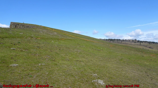
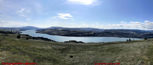
This hike begins at the new Coyote Wall Trailhead. The loop will takes you up along the western edge of the Labyrinth, over to the magnificent syncline wall, and then up along it into oak/Douglas-fir woods to do a short loop back and drop down the rim once more. Coming down Coyote Wall, taking in expansive vistas every step of the way, is the just reward for slogging all the way up.
·
Start point: Coyote Wall Trailhead
·
End point: Coyote Wall Upper Viewpoint
·
Hike Type: Loop
·
Distance: 7 miles
·
Elevation gain: 1700 feet
·
Difficulty: Moderate
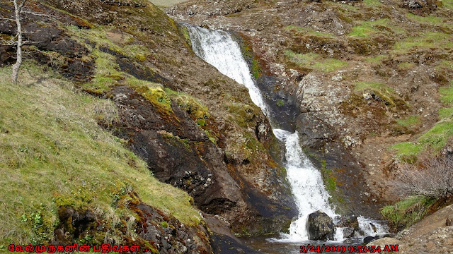
Follow the Little Maui Trail for about 1.5 miles as it zigzags uphill through rocks and creek beds (which are generally dry by late May/early June). In the springtime these hillsides are lush and green and covered in purple Lupin and yellow Balsamroot flowers. As you get closer to summer, the landscape turns dry and brown and the only flowers that remain through June are blue cornflowers, harvest brodiaea, Richard's penstemon and hairy goldaster. You will also see very large bushes of poison oak!, also aware of the odd tick and rattlesnake.
The Coyote Wall hike offers expansive views, the grassy slopes and oak woodlands, as well as to enjoy, all season, the dazzling display of wildflowers.
Coyote Wall : A massive formation of columnar basalt, Coyote Wall is one of the Columbia River Gorge's most recognizable features from all directions. Known around the Gorge as "The Syncline", local amateur geologists enjoy debating its proper geological classification over a craft brew. The rock wall in this area was formed over 10,000 years ago when Ice Age melt from Montana flooded into the Columbia Gorge and backed up there. This stripped the area to bedrock and left these unique rock formations.
Directions From Portland to Coyote Wall Trailhead:
Drive on I-84 E/US-30 E for a total of 61.3 miles, then Take exit 64 for Mt Hood Hwy toward OR-35/White Salmon/Govt. Camp. Turn left onto Button Bridge Rd/Mt Hood Hwy. and cross the Hood River toll bridge. On the other side of the bridge (in WA) turn right onto WA-14 E and stay on this road for 4.6 miles, then turn left onto Courtney Rd. and immediately turn right at a sign for Coyote Wall and park at the trailhead parking. (Total of 70.5 miles)
From Bingen, WA travel east on Washington State Highway 14
approximately 3 miles to milepost 69.7, Courtney Road. The trailhead is just
off the highway on the east side of Courtney road. Please park in designated parking spots only
and not along Courtney Road or Highway 14.


Post a Comment