May 15, 2020

Dog Mountain Hike Washington

Dog Mountain Hike - Columbia River Gorge Washington

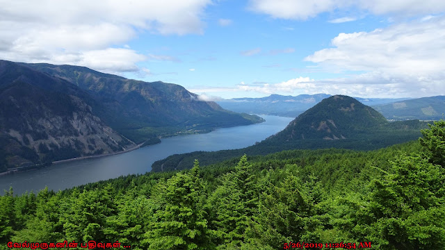
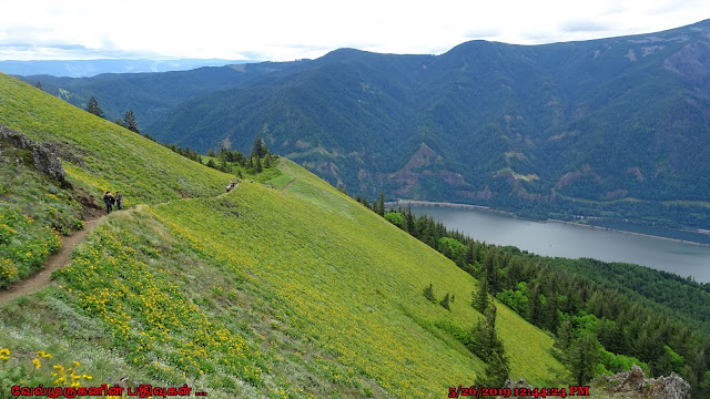
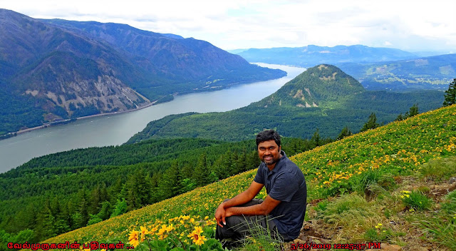
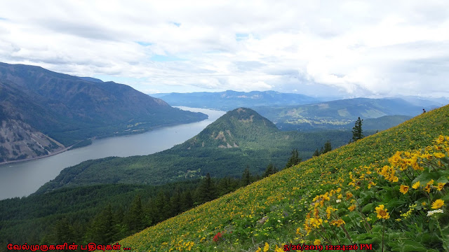
The Dog Mountain trail is best known for the dramatic yellow balsamroot and other native wildflowers that blanket Dog Mountain's high meadow from April to June, but its spectacular panoramas of the Gorge reward hikers throughout summer and fall. 

Dog Mountain hike - Trail Head
Columbia River Gorge National Scenic Area - Dog Mountain
Dog Mountain trail Columbia River Gorge
Dog Mountain Trail Washington

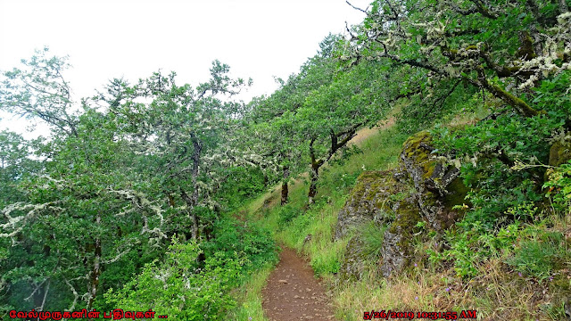
The trail climbs steeply for the first half mile before reaching a split in Dog Mountain Trail. Those who head west will pass through old growth trees along the original, steeper trail. About a mile into the east leg, hikers will encounter a lower meadow nicknamed "Puppy Dog" which overlooks the Columbia River as it meanders past Wind Mountain. Directly across the river, Starvation Creek Falls is visible to the left, as is the summit of Mount Defiance. This is a good picnic spot or turnaround point for a shorter hike. 

Those who continue to the upper meadow will find the rest of the hike very open. On a clear day, the Columbia River can be seen winding through the Gorge in both directions, with Mt. Hood towering to the south and Mount St. Helens looming on the northwest horizon. On rainy days, hikers can sometimes find themselves above the clouds. 

Columbia River Gorge National Scenic Area
Dog Mountain hike Washington Wildflowers View
Dog Mountain trail Washington
Dog Mountain yellow balsamroot bloom
During the winter, the peak is snow-covered and even the most intrepid hikers should come prepared with mountaineering gear such as traction devices, poles, and a good GPS. 

Hikers can continue past the upper meadow to create a loop via Dog-Augspurger Tie Trail to Augspurger Trail #4407 which shares the same trailhead. 

Length : 6.9 mi

Elevation gain : 2,900 ft

Difficulty: Moderate

Route type : Loop Hike

Passes: NW Forest Pass or valid federal recreation pass

Fees:$5/vehicle/day at Dog Mountain Trailhead

Directions From Portland, OR: Travel west on Interstate 84 to Cascade Locks exit #44.  Follow the off ramp under the interstate and take the first right to the Bridge of the Gods across the Columbia River. At the stop sign, turn right (east) on Washington State Route 14 and travel 12 miles. At milepost 53.7 there is a large sign for the Dog Mountain Trailhead.

May 11, 2020

The Coyote Wall Hike Washington

The Coyote Wall hike on Columbia River Gorge

The Washington side of the Columbia River Gorge has some great hikes like Hamilton Mountain, Table Mountain, Dog Mountain, Catherine Creek and Coyote Wall. The Coyote Wall area provides a network of different trails for a very easy paved family stroll, to a more rigorous hike or mountain bike ride. The trail starts off along Old Ranch Road which is paved and goes between Locke Lake and Coyote Wall. Rocks have tumbled down into the pathway from the rock walls above.

The Coyote Wall Trail Head
Coyote Wall hike Washington
Coyote Wall on Columbia River Gorge

This hike begins at the new Coyote Wall Trailhead.  The loop will takes you up along the western edge of the Labyrinth, over to the magnificent syncline wall, and then up along it into oak/Douglas-fir woods to do a short loop back and drop down the rim once more. Coming down Coyote Wall, taking in expansive vistas every step of the way, is the just reward for slogging all the way up. 

·         Start point: Coyote Wall Trailhead

·         End point: Coyote Wall Upper Viewpoint

·         Hike Type: Loop

·         Distance: 7 miles

·         Elevation gain: 1700 feet

·         Difficulty: Moderate

Follow the Little Maui Trail for about 1.5 miles as it zigzags uphill through rocks and creek beds (which are generally dry by late May/early June). In the springtime these hillsides are lush and green and covered in purple Lupin and yellow Balsamroot flowers. As you get closer to summer, the landscape turns dry and brown and the only flowers that remain through June are blue cornflowers, harvest brodiaea, Richard's penstemon and hairy goldaster. You will also see very large bushes of poison oak!, also aware of the odd tick and rattlesnake. 

The Coyote Wall hike offers expansive views, the grassy slopes and oak woodlands, as well as to enjoy, all season, the dazzling display of wildflowers. 

Coyote Wall hike on Washington Syncline Trail
Coyote Wall hike on Columbia River Gorge
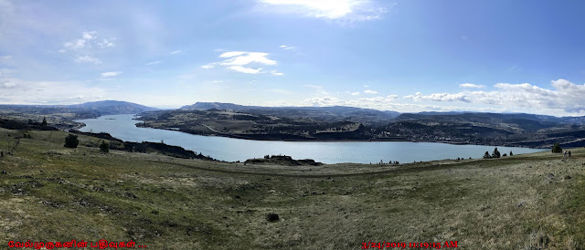
Columbia River view from Coyote Wall
Columbia River Gorge view from Coyote Wall

Coyote Wall : A massive formation of columnar basalt, Coyote Wall is one of the Columbia River Gorge's most recognizable features from all directions. Known around the Gorge as "The Syncline", local amateur geologists enjoy debating its proper geological classification over a craft brew. The rock wall in this area was formed over 10,000 years ago when Ice Age melt from Montana flooded into the Columbia Gorge and backed up there. This stripped the area to bedrock and left these unique rock formations. 

Coyote Wall hike Team
Coyote Wall hike Washington Side

Directions From Portland to Coyote Wall Trailhead: 

Drive on I-84 E/US-30 E for a total of 61.3 miles, then Take exit 64 for Mt Hood Hwy toward OR-35/White Salmon/Govt. Camp. Turn left onto Button Bridge Rd/Mt Hood Hwy. and cross the Hood River toll bridge. On the other side of the bridge (in WA) turn right onto WA-14 E and stay on this road for 4.6 miles, then turn left onto Courtney Rd. and immediately turn right at a sign for Coyote Wall and park at the trailhead parking. (Total of 70.5 miles) 

From Bingen, WA travel east on Washington State Highway 14 approximately 3 miles to milepost 69.7, Courtney Road. The trailhead is just off the highway on the east side of Courtney road.  Please park in designated parking spots only and not along Courtney Road or Highway 14.

May 6, 2020

Long Beach Washington

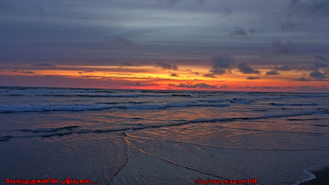
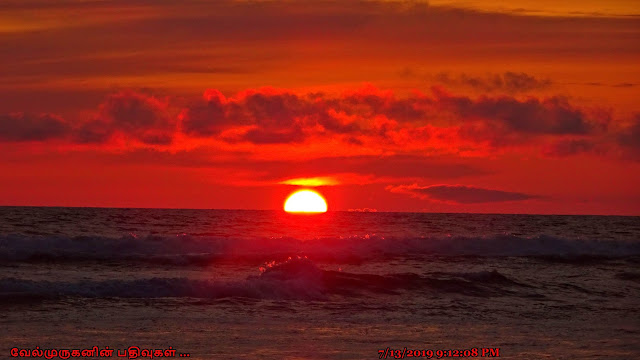
Long Beach Washington Sunset Pics

The Long Beach Peninsula is the longest contiguous beach in the U.S. at about 28 miles; The entire area is renowned for the abundant seafood harvests. This is the area of the largest salmon run in the world, razor clams, numerous other fish (halibut, cod, sardines, tuna, anchovies, etc.)

Many people are attracted to Long Beach because they can drive on it. Long Beach is actually an official Washington State highway with a 25 mph speed limit.Long Beach Sunset ViewLong Beach Peninsula Sunset View

Longest Beach in the United States:

Long Beach is actually the world's longest drivable beach, the longest beach on a Peninsula, and the longest beach in the United States, but it takes third place when it comes to the longest beaches in the world.

"The World's Longest Beach" emblazoned on the archway over Bolstad street in the town of Long Beach, the beach here is not the longest beach in the world. It should be called the "World's Longest Continuous Peninsula Beach" because it is the world's longest beach on a peninsula. It stretches 28 miles along Washington's southwest coast starting close to where the Columbia River meets the Pacific Ocean and it then extends north to the entrance to Gray's Harbor. 

Long Beach Washington
Long Beach Washington Coast
Long Beach Sunset Washington
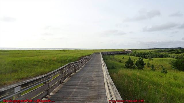
Long Beach Board Walk Washington
Gray Whale Sculpture Long Beach

The Long Beach Peninsula, in beautiful Pacific County, is located in the very southwest corner of Washington state. It's an easy and scenic drive from both Portland and Seattle as well as a classic Highway 101 destination and part of two scenic byways.

May 1, 2020

Cape Disappointment State Park Washington

Cape Disappointment State Park Washington

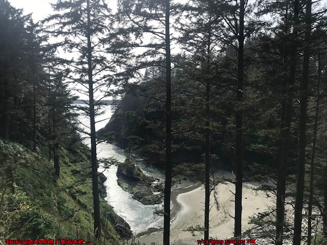
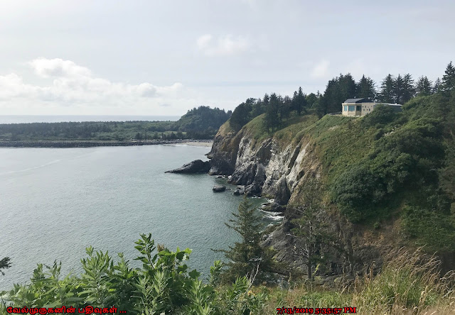
Cape Disappointment is a 2,023-acre camping park on the Long Beach Peninsula, fronted by the Pacific Ocean and looking into the mouth of the Columbia River.

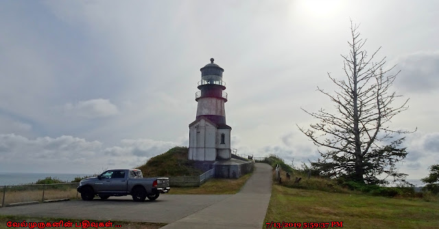
Cape Disappointment Light House
Cape Disappointment State Park
Long Beach Peninsula Washington
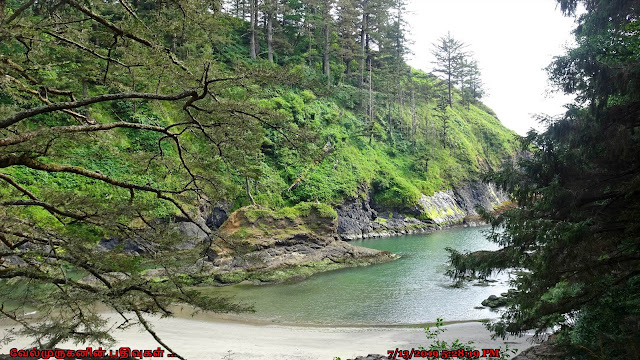
Cape Disappointment Trail  Washington

 A notable landmark of the Pacific Northwest, Cape Disappointment was already named by the time Lewis and Clark reached the site in November 1805.  The first known documentation of the site was in 1775 by Spanish explorer Bruno Heceta, who named it “Bahia de La Asuncion,” or Bay of the Assumption.  Then in 1788, British trader John Meares named it “Cape Disappointment” when he mistakenly believed that the mouth of the Columbia River was only a bay.

Cape Disappointment Light House :  Lighthouses stand sentinel atop windswept cliffs, sea smells waft up through the air and waves collide with a crash where the Pacific Ocean meets the Columbia River below.

 When Cape Disappointment Lighthouse was first lit on October 15, 1856, it became the eighth active light on the West Coast.

Cape Disappointment Light House Washington
Cape Disappointment Long Beach PeninsulaCape Disappointment State Park Washington

The brick tower at Cape Disappointment stands fifty-three feet tall, has a focal plane of 220 feet above the sea, and tapers from a diameter of fourteen feet four inches at its base to ten feet six inches at the lantern room. The station was also supplied with a 1,600-pound fog bell, but it was found to have little value due to the roar of the surf and the distance at which mariners needed to hear it.

Cape Disappointment Light House 1865

Columbia River :  Starting as a small stream at the base of the Canadian Rockies, the Columbia River travels more than 1,200 miles, merging with various rivers and streams, until it meets the Pacific Ocean. The force of the Columbia flowing into the sea creates one of the most treacherous bars in the world as evidenced by the 234 identified ships that stranded, sank, or burned near the mouth of the river between 1725 and 1961.

Location : Cape Disappointment is a headland of the Pacific Northwest, located at the extreme southwestern corner of Washington, United States, on the north side of the Columbia River bar and just west of Baker Bay. The point of the cape is located on the Pacific Ocean in Washington's Pacific County, approximately two miles southwest of the town of Ilwaco.

Fees : A Discover Pass is required for vehicle access to state parks for day use.