Martha Falls Trail in Little River Canyon
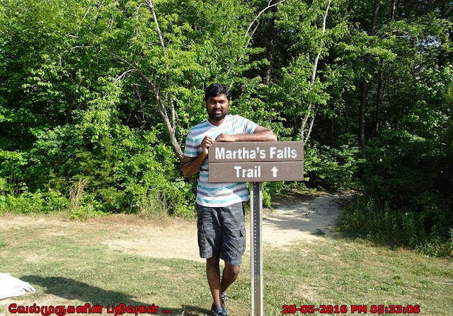
Martha's Falls Trail in Little River Canyon National Preserve
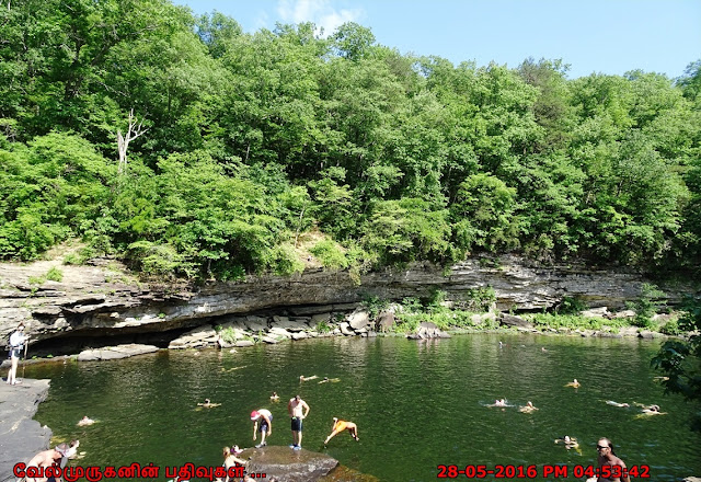
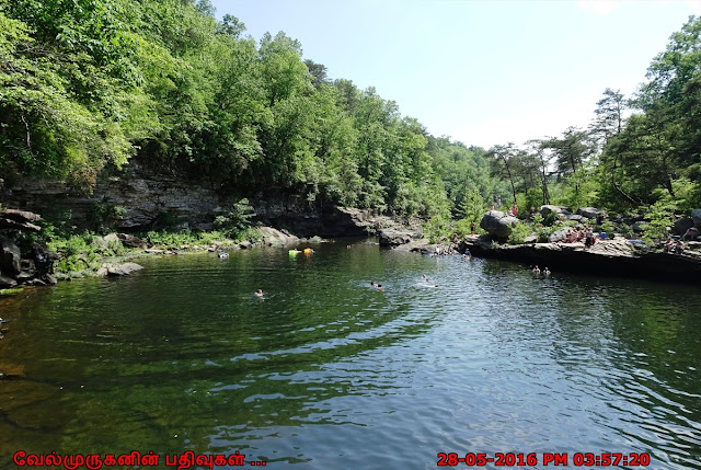
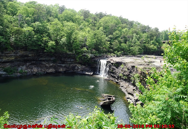
Martha's Falls,
formerly Little Falls is a popular swimming area at Little River Canyon
National Preserve. Little River Canyon National Preserve is a United States
National Preserve located on top of Lookout Mountain near Fort Payne, Alabama,
and DeSoto State.
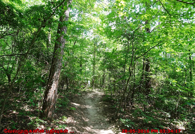
The Martha’s Falls Trail starts at the back of the Little River Falls parking lot. If you are on the Little River Falls Overlook boardwalk and viewing the falls, when hiking back, take the gap in the fence and proceed down the trail to the right.
Length:
1.5 miles round trip
Type
of Hike: Out and back
Time:
1 hour, not counting stopping at the falls to swim or relax on the riverbank
Difficulty: Easy to Moderate with a steep downhill /
uphill climb over rocks, serious injury possible
Points
of Interest: Little River Falls (at trailhead) and; Martha's Falls is a popular
swimming spot.
Most of the
trail is flat, but often very rocky, making it difficult to breeze along. In
addition, it often appears to peter out, which may lead to moments of
backtracking to make sure you didn’t miss anything. This is most problematic
when the trail turns nearly to all rock, making it harder to follow the path as
compared to when it is cut through the dirt. As a rule of thumb, as long as you
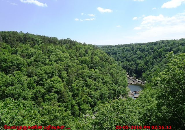
are hiking along the river (far below), you are on the Martha’s Falls Trail . Parking
is available off Highway 35, near Road 861.
Address: Little
River Canyon National Preserve, 4322 Little River Trail NE #100, Fort Payne, AL
35967




Post a Comment