
Soco Falls
Soco Falls is a double waterfall located on the Cherokee Nation close to the Blue Ridge Parkway. It's easily accessible from Highway 19. A five minute walk down a maintained trail leads to a viewing platform. To the left of the viewing platform there's a steep trail leading down to the top of the smaller fall and on down to the creek below the falls. This trail is not maintained and is very slippery. It is not recommended that you proceed down this trail. Don't try to enter the creek above the falls.


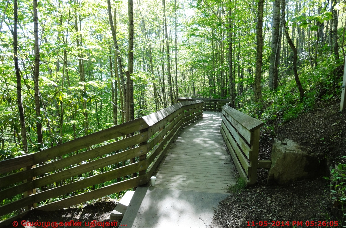

Soco Falls is a beautiful, double waterfall on the edge of Cherokee Indian Reservation, located between the towns of Maggie Valley (5.5 miles) and Cherokee (10 miles).

View from the observation deck - 120-foot waterfall.


How to reach :
From Cherokee and Gatlinburg
Take Highway 19 toward Maggie Valley for about 10 miles.
Watch for a small blue sign that says the waterfall is o.5 miles away.
There's a small pull out on the right hand side of the road. No signs are located at the parking area.
There's another small blue sign that says "Soco Falls" at the pull off. There's a break in the guard rail to enter the trail. It is a short walk to the viewing platform.
Coming from Maggie Valley, it's 1.5 miles west from the Blue Ridge Parkway and will be on your left.
Latitude and Longitude : 35.492500 N 83.169444 W


Post a Comment